
Verified Mohave County ZIP Areas
The most useful Mohave County ZIP code directory starts with a candid limit: no authoritative downloadable USPS county list was found. The rows below separate postal areas observed in official local sources from candidates that still need address-level confirmation. Post-office station names were not verified, so none are invented. Use the list to frame a search, not to claim every route serving the county.
| ZIP | Area or postal name | Post office | Evidence note |
|---|---|---|---|
| 86401 | Kingman | Verify with USPS | County and museum street addresses observed |
| 86402 | Kingman | PO-box or mail use | County PO Box 7000 observed |
| 86409 | North Kingman | Verify with USPS | Official local use observed |
| 86403 | Lake Havasu City | Verify with USPS | County branch address observed |
| 86442 | Bullhead City | Verify with USPS | County branch address observed |
| 86426 | Fort Mohave | Verify with USPS | Official local address observed |
| 86441 | Dolan Springs | Verify with USPS | Official polling or library source observed |
| 86444 | Meadview | Verify with USPS | Official polling or library source observed |
| 86434 | Truxton or Peach Springs area | Verify with USPS | Official polling source verifies Truxton use |
Other research candidates are 85360 for Wikieup, 86021 for Colorado City, 86404/86405/86406 for the Lake Havasu postal area, 86411/86412/86413 for the Kingman postal area, 86427 for Fort Mohave, and 86429/86430 for the Bullhead postal area. Additional candidates are 86431 Chloride, 86432 Littlefield, 86433 Oatman, 86436 Topock, 86437 Valentine, 86438 Yucca, 86440 Mohave Valley, 86443 Temple Bar, and 86445 Willow Beach. The research suggests 86405 may have PO-box use, but every candidate still needs USPS address verification.
Verify Mohave County ZIP Codes First
The USPS ZIP Code Lookup is the primary check for a deliverable address. It can verify an address-to-ZIP match and a city-and-state postal result. It is not a legal-boundary map. A postal city describes mail routing, which may extend outside the incorporated place named on the envelope.
| Lookup route | Input | Best use |
|---|---|---|
| Address to ZIP | Complete street address | Confirm the current delivery code for one site |
| City and state | Postal city plus Arizona | Review ZIP results tied to that postal name |
The USPS verification page shown here is the public starting point for the Mohave County ZIP code directory.
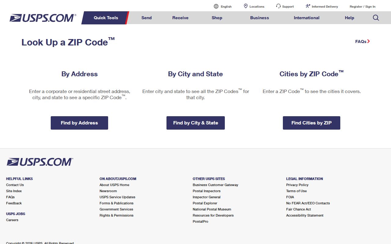
Use the returned postal form as one key, then inspect the parcel and jurisdiction before seeking local records.
Find Mohave County Residents by ZIP
A ZIP narrows geography, but the researched county portals do not provide a verified public ZIP-wide resident browser. No reliable Assessor or GIS ZIP filter was captured, and the state voter self-lookup is identity-gated. The safe workflow begins with a real address and avoids implying features the portals do not document.
- Verify the complete address with USPS and save the standardized postal form.
- Search the address in the Mohave County Assessor portal. Capture the site address, APN, and indexed owner.
- Open the parcel in GIS to confirm its mapped location, incorporated status, district context, and nearby road network.
- Choose the county, city, tribal, or Colorado City area custodian based on jurisdiction, not the postal city alone.
- If the task expands to the whole road, move to the Mohave County street directory and keep each parcel separate.
Arizona voter records need special care. The public self-service tool verifies an individual voter's own registration data. A separate statutory public-list request carries an authorized-use declaration, pricing, posting limits, and transfer limits. It is not a casual postal-area people browser.
Mohave County ZIP Routes and Limits
USPS delivery routes, incorporated boundaries, Census ZCTAs, and county service lines answer different questions. A ZCTA is a Census statistical approximation. It is not the live postal route. Likewise, a Kingman or Lake Havasu City postal label does not by itself prove that a parcel sits inside that city's limits.
Mohave County spans 13,461 square miles. Kingman, Bullhead City, Lake Havasu City, and Colorado City account for only the incorporated layer. Golden Valley, Fort Mohave, Mohave Valley, Dolan Springs, Meadview, Oatman, Chloride, and many Arizona Strip places add distinct unincorporated contexts. Tribal land and long travel distances add more custodian splits.
- ZIP
- A USPS delivery code, not a city or county boundary.
- ZIP+4
- A more precise postal extension for a delivery segment or destination.
- PO-box ZIP
- A code used for post-office-box mail rather than ordinary street delivery.
- Unique ZIP
- A code assigned to one high-volume organization or destination.
- Carrier route
- A delivery sequence used by a postal carrier within a broader area.
Mohave County Addressing Jurisdiction
The Mohave County Addressing Office assigns addresses in unincorporated territory. Its authority excludes Kingman, Bullhead City, Lake Havasu City, tribal land, the Colorado City area, and Board-approved special grids. The Development Services Director or Addressing Official maintains the grid maps, road-name index, and reserved road names.
The official county addressing page shown here supplies the jurisdiction rules used for this Mohave County ZIP code directory.
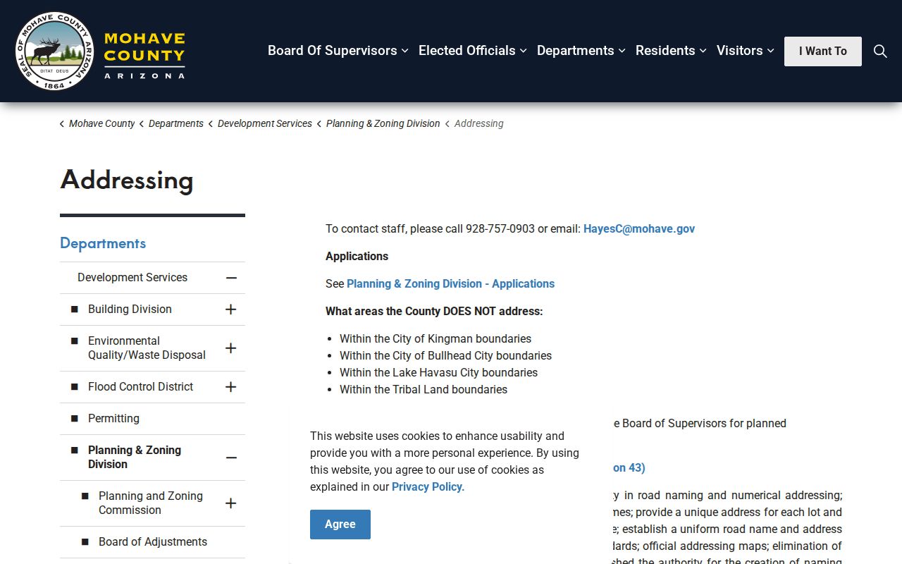
That jurisdiction line explains why a county no-hit can send the researcher to a city or other addressing authority.
County addresses generally issue with a permit and verified structure. Vacant land normally has no assigned address. A parcel split or combination can make an old number wrong. Address verification requires a permit and plot plan; call 928-757-0903. Public Works handles street signs at 928-757-0924.
The fallback is direct and local. Take the plot plan and permit facts to the Addressing Office for an unincorporated site. For a parcel within an incorporated city, contact that city's addressing or development staff instead. Tribal land and the Colorado City area require their own responsible authority. Postal wording alone should never choose the office.
The Mohave County ZIP Address Myth
A rural address that fails in a commercial map is not automatically invalid. Mohave County says it does not feed valid county addresses to third-party search engines. The official address follows primary physical access, structure orientation, and the public entrance. Opposing entrances generally receive consecutive odd and even numbers, while separate grid areas can use separate baselines.
One legal description usually receives one primary address, though actual structures and access may justify more. Corner parcels follow their real entrance. Those rules can make the postal label, map pin, Assessor site line, and old directory entry appear inconsistent even when each reflects a different system or date.
Myth check. A third-party map miss does not invalidate an E911 address assigned by Mohave County's authorized official.
Four Mohave County ZIP Address Keys
Mohave County postal research is stronger when four labels stay separate. A situs is the assigned physical location. A mailing address receives correspondence and tax notices. A legal description identifies land through deed or survey terms. An APN is the Assessor's book-map-parcel key.
None can simply replace the others. A remote owner may receive tax mail in another state. A trust may appear as indexed owner. A deed can retain a legal description through a street-name change. The APN can bridge the Assessor, GIS, Treasurer, and some Recorder references, but it is not a postal code and may not appear on every recorded instrument.
Note: Date each identifier because parcel rolls, postal routes, assigned addresses, and recorded instruments change on different schedules.
Map Mohave County ZIP Mismatches
The Mohave County Public Map Viewer can place a verified postal address against parcel lines, roads, districts, surface-management layers, and planning context. Its clicked-parcel panel may show the APN, Assessor description, parcel size, indexed owner mailing city and ZIP, property type, district, coordinates, and links to tax or recording references.
GIS remains a reference tool. Parcel splits and new subdivisions can lag about a month, and the county disclaims title, survey, engineering, and legal-description authority. Use the map to discover which government appears responsible. Confirm ownership through the Assessor and Recorder, and confirm boundaries with a deed or survey.
Mohave County ZIP Population Limits
Countywide population rose from 213,267 at the 2020 Census to an estimated 228,102 in 2025, about seven percent. That trend does not provide per-ZIP resident counts. No verified postal-area registration or population table was found, so county totals must not be spread across routes by guesswork.
Growth also lands in very different settings. Kingman is the rail, Route 66, and county-seat center. Lake Havasu City and Bullhead City reflect river growth. Colorado City and the Arizona Strip sit across difficult terrain, while rural communities depend on long roads and distinct postal forms. The Mohave County ZIP code directory therefore works as a set of verification paths, not one neat city grid.
Use Mohave County ZIP Evidence Carefully
A postal match proves how USPS identifies a delivery destination at the time of lookup. It does not prove that a named person lives there. The Assessor gives an indexed owner and site. GIS gives map context. Voter files use the term registrant and have statutory limits. Each result needs its own source date and label.
The missing exhaustive county list is a real boundary, not a reason to fill gaps from memory. There was also no verified unique code, route split year, realignment year, ZIP-capable Assessor filter, GIS postal layer, or complete post-office-station roster. Verify each real address with USPS, then call the correct office when the electronic chain ends.
Careful use. A ZIP can narrow lawful personal research, but it must never be used to infer or expose a protected address.