
Mohave County Neighbor Sources
The public trail around one Mohave County address is parcel-based. GIS supplies shapes and adjacency. The Assessor names an indexed owner for each lot. Recorder instruments show dated transfers and legal descriptions, while tax and permit systems add limited parcel facts. Voter data and community contacts have stricter access boundaries. Together these sources can describe a block, but they do not identify every person who lives on it.
| Source | What It Shows About a Block | Access |
|---|---|---|
| Mohave Public Map Viewer | Parcel polygons, adjacency, parcel IDs, roads, zoning, and selected-area export | Free map and extracts |
| Mohave County Assessor | Site address, parcel number, and indexed owner | Free owner, address, or parcel search |
| Mohave County Recorder | Transfer parties, instruments, dates, and legal descriptions | Free 1988-present index; paid copies |
| Voter file | Statutory list fields, with protected records removed or shielded | Paid authorized request with use limits |
| Permit records | Permit number, work, and inspection evidence | Current portal; some detail may be gated |
| Community organizations | Published officers, partner contacts, or public pages | No right to private member lists |
Use exact labels. The Assessor provides an indexed owner, not a listed occupant. A tax-mail destination may belong to a trust, manager, post office box, or out-of-county owner. A deed proves a recorded transaction. “Resident” remains a conclusion that needs context and a date.
Select Mohave County Neighbor Parcels
The Mohave County Public Map Viewer supports the exact adjacent-parcel method through map browse, Identify, selection, and export. It does not have a verified radius or buffer tool, so do not promise one. Search the subject parcel, zoom until the polygons that touch it are clear, and work outward only as far as the defined block inquiry requires.
- Find the subject address or parcel and confirm its shape, roads, and parcel ID.
- Click each adjoining polygon with the Identify Multi-Tool. Star or select each result.
- Export the selected set as CSV or XLSX, or use the county's mailing-list workflow.
- Check every selected parcel in the Assessor search, then use Recorder evidence for any ownership claim that matters.
The map can show planning and district context. Yet its terms list risks involving spatial fit, currency, completeness, projection, calculation, and outside data. Parcel changes may lag splits or new subdivisions by about one month. Use GIS to discover and group lots, the assessment roll to identify an indexed owner, and the deed or survey to establish legal facts.
Check Mohave County Neighbor Ownership
The direct Assessor parcel search accepts a real-property parcel number, personal-property number, owner name, or property address in one search box. Results separate Number, Site Address, and Owner Name. Refinement, page-size controls, and pagination help manage a selected block.
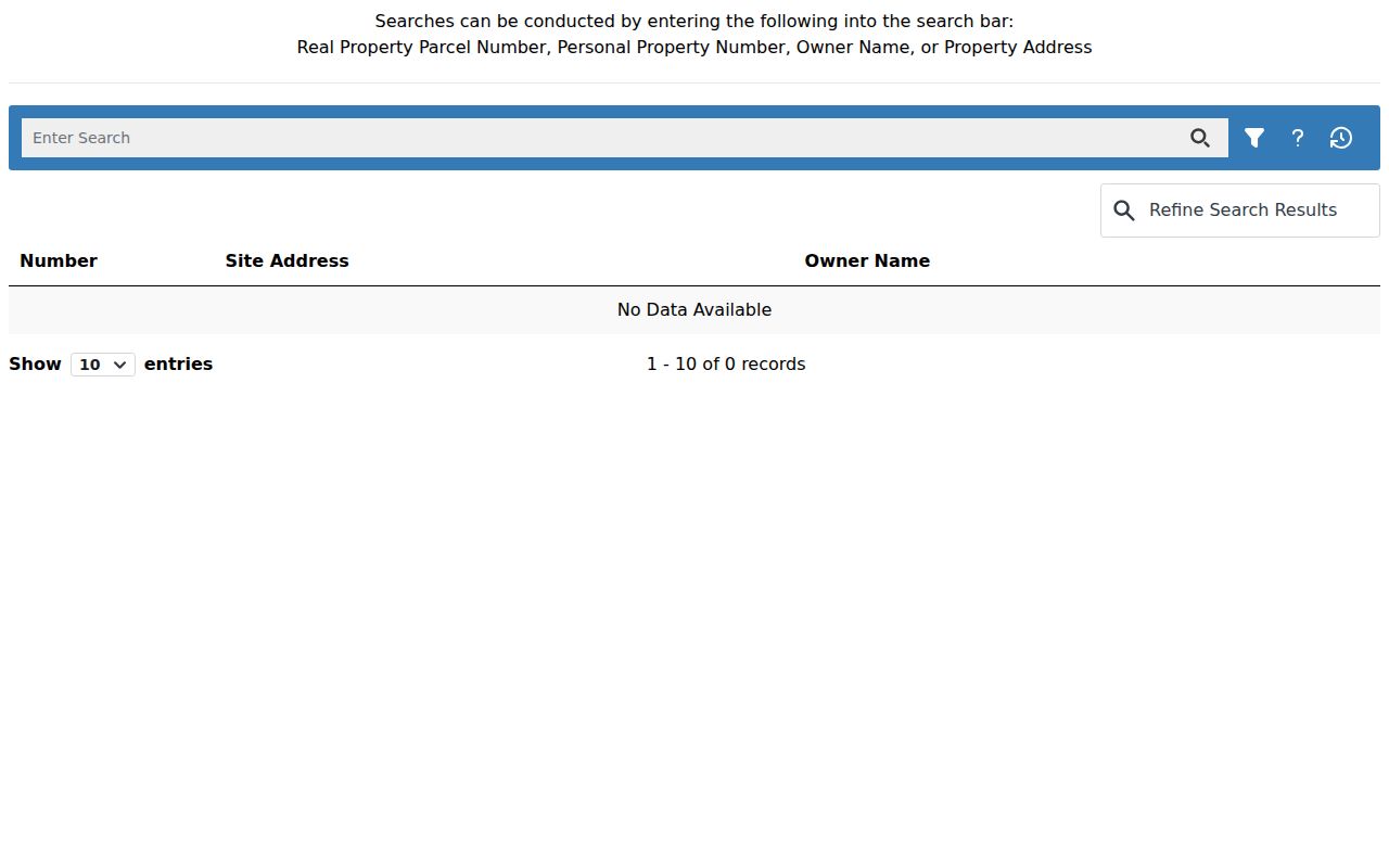
That separation is crucial: a site address locates land, while an indexed owner identifies the person or entity assessed for it.
| Assessor Control | Format | Block-Search Use |
|---|---|---|
| Enter Search | Optional free text | Accepts APN, personal-property number, owner, or property address |
| Filter Search | Control | Constrains the result set |
| Refine Search Results | Text control | Filters the returned grid |
| Page Size | Selector | Shows 10, 25, 50, or 100 rows |
After the Assessor, the Mohave County Treasurer portal can supply parcel-keyed tax evidence. At research inspection, only 2025 taxes were payable online and earlier years required a call to 928-753-0737.
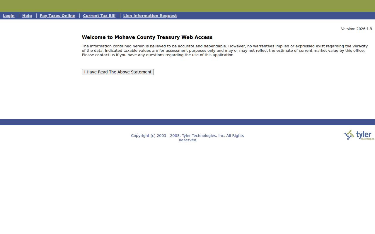
A tax balance or mailing destination adds parcel context. It still does not turn the selected lots into an occupant list.
Insider tip: the Assessor reports 258,932 parcels countywide. Export only the selected block and retain the parcel ID, which is safer than trying to match a broad owner-name list by eye.
Map a Mohave County Neighbor Block
A block result becomes useful only after each polygon is verified. Copy the Assessor's owner wording exactly, note the site address, and keep any mail address separate. If ownership timing matters, search that party in the Recorder's 1988-present index and compare the instrument's legal description. Copies are $1 per page and certification is $3 per document.
This process flow keeps the evidence clean: subject address → parcel polygon → adjoining parcel IDs → Assessor owner results → Recorder instruments → a dated block worksheet. It does not infer a spouse, child, renter, guest, or other person from the owner's name.
For a whole named road instead of immediate adjoining lots, use the Mohave County street directory and its street-scale record chain.
Map versus proof. Mohave County provides GIS extracts at no charge, but the county states that its map is not title, survey, engineering, or legal-description evidence.
Mohave County Voter Block Rules
The individual Arizona voter portal is identity-gated and meant for a voter to confirm personal status, districts, notices, polling location, and ballot-by-mail information. It is not a public street browser. A.R.S. § 16-168 creates a separate requested voter-file channel with public list fields and strict limits.
The Mohave County voter public-record request may provide full name, residence and mailing address, party preference, precinct and districts, registration date, birth year, and participation in elections. It never shows candidate or ballot choice. Month and day of birth, state identifiers, signatures, and email stay restricted.
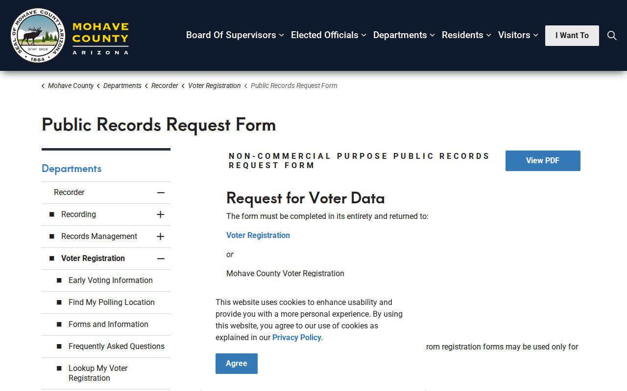
The requester must declare an authorized use, pay the exact amount in advance, and accept bans on commercial use, web posting, and unauthorized transfer.
Myth: paying for the voter file does not buy a free-use block directory. Protected voters are shielded, inactive status can follow an address-confirmation process, and a participation field means only that a person voted in an election.
Mohave County Community Contacts
No authoritative countywide inventory of neighborhood associations, block-watch groups, private rosters, or HOA directories was verified. The safe community layer is made of published public contacts. County pages can point toward chambers, civic partners, and community resources, but an affiliation should never be recast as residence proof.
Community Overviews
County descriptions of Mohave communities provide local context and links without claiming household membership.
Partners and Resources
Published public contacts can lead to chambers, civic groups, and service organizations.
County Library
Branches offer public community resources and research tools, not private resident rolls.
The official communities overview is a useful first stop.
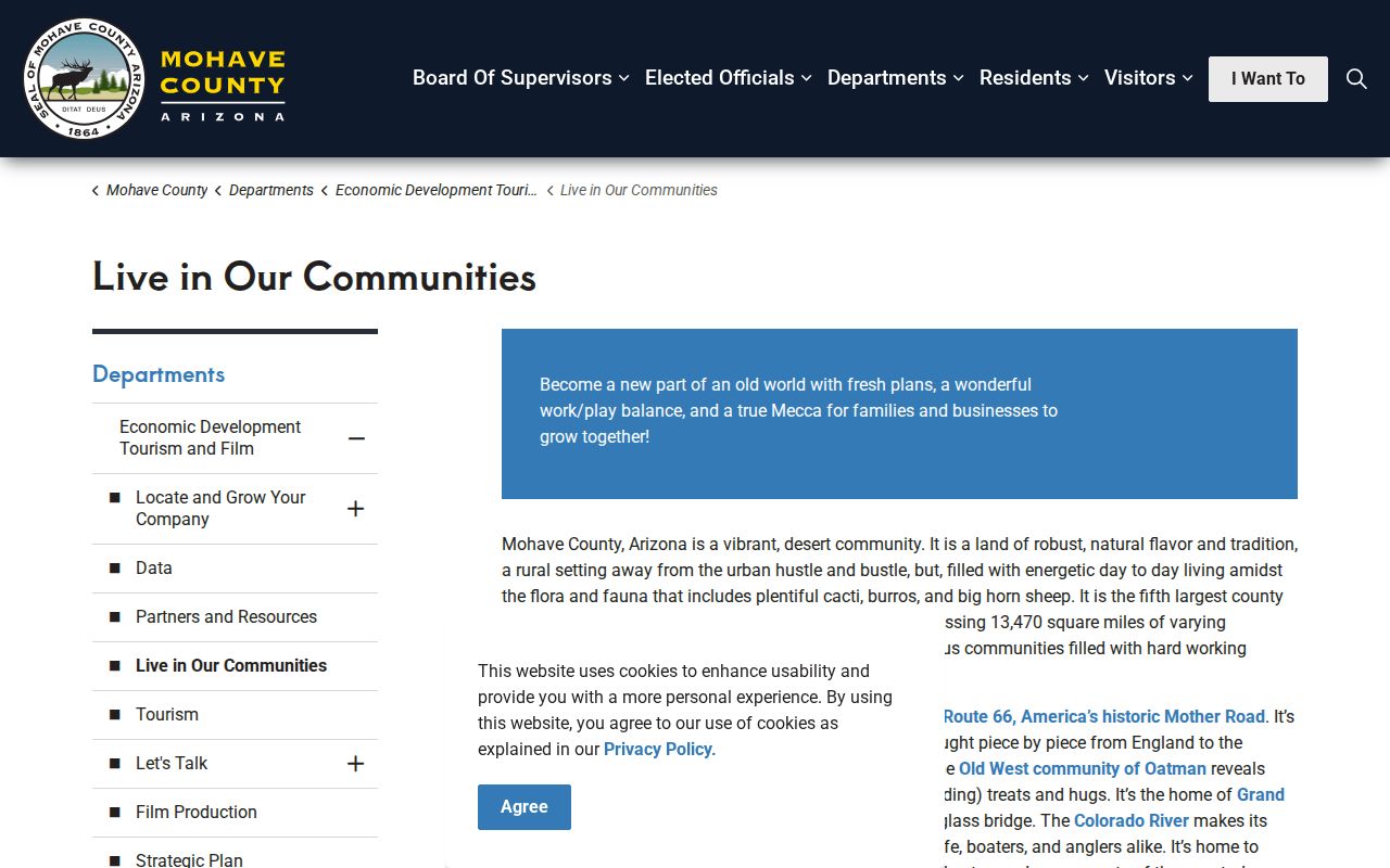
Its role is geographic and civic context, not proof of who occupies a parcel.
The county's partners and resources page supplies public organization contacts.
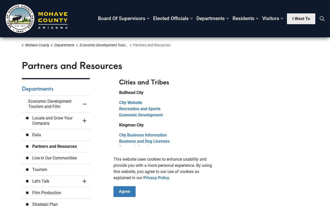
Use the named officer or published contact as an organization lead, not as a private roster entry.
Mohave County Neighborhood History
The community layer changes over time. A parcel map captures current geometry, while directories, newspapers, yearbooks, and local files freeze earlier moments. Mohave County Library branches provide public access points, and the library's research resources include in-building Ancestry and HeritageHub obituary and death notices.
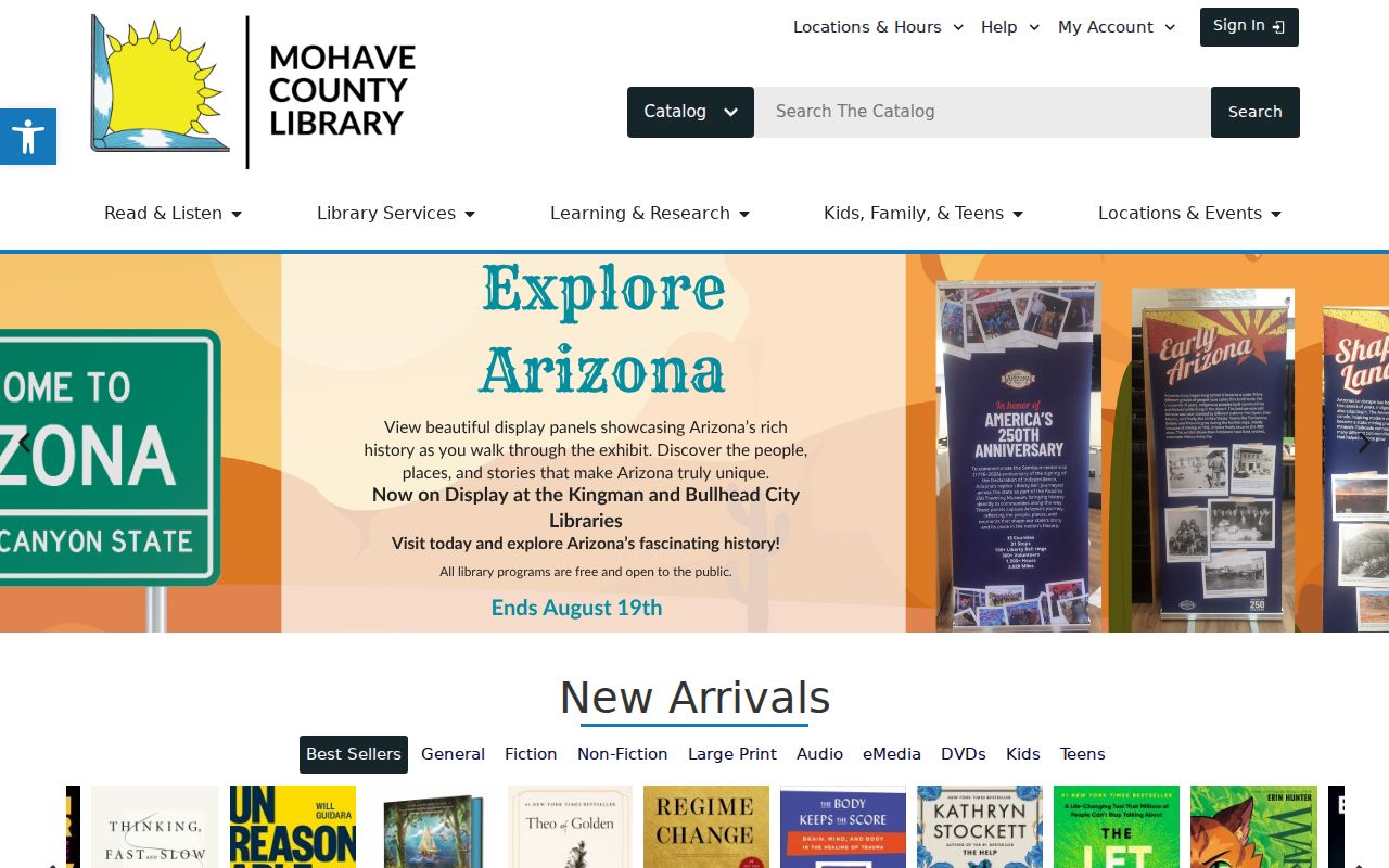
Library sources can explain an old block name or connect a past listed occupant, but each item must keep its own date and source label.
For a focused request, give staff a surname, community, address or legal description, and date range. Ask for specific directories, newspaper files, maps, photos, school annuals, cemetery material, or citation rules. Current community contacts and historical listings answer different questions.
Official Mohave County Block Records
Commercial neighbor tools may combine public and commercial data, charge for detail, and merge stale address histories. Official rolls are narrower, yet each has a named custodian and a defined field set. Use the category only as a clue, then return to the controlling source.
| Source Type | Strength | Limit |
|---|---|---|
| GIS and Assessor | Parcel-specific geometry and indexed owner | Reference map and ownership, not all occupants |
| Recorder and clerk | Dated instruments and certified files | Search index may omit or restrict material |
| Commercial compilation | Broad clue gathering | Can be stale, merged, and not authoritative |
Date every conclusion. A deed records a transaction, the assessment roll reflects a cycle, a voter record changes, and a directory freezes one canvass. If two official facts do not converge, leave the candidates separate.
Mohave County Neighbors and Addresses
Address text can shift even when neighbors and parcel lines stay in place. In unincorporated Mohave County, the Addressing Official alone may assign or change an address. A number follows the site's main physical access and the structure's orientation or public entrance. A corner parcel usually has one primary address unless its actual access or structures justify more. An owner gains no vested right to a number and cannot move it to another location.
Those rules help explain a mismatch among the parcel roll, postal text, and an older directory. Opposing entrances usually receive consecutive odd and even numbers. The regulation uses 1234 opposite 1235 as an example. For physical-address verification, the county requires a permit and plot plan for E911 assignment. Public Works handles street-sign questions at 928-757-0924, while NENA and NG911 street-centerline and address-range work continues with Arizona State 9-1-1.
When two nearby records appear to name different places, compare the parcel ID and legal description before deciding that the neighbors changed. Assessor Cartography handles mapping questions, and deed issues belong with the Recorder at 928-753-0701. The GIS Coordinator can be reached at 928-753-0740 or gis@mohave.gov. These channels resolve source differences without guessing who occupies the block.
Note: Mohave County does not promise that a valid rural address will appear promptly in every outside search tool.
Mohave County Neighbor Privacy
Your neighbors who rent, share a home, or live with family can be absent from parcel records because the assessment roll indexes ownership. Arizona's Address Confidentiality Program can provide qualifying survivors with a substitute address and mail forwarding, while protected voter registration can shield a real address. Sealed court files, confidential vital records, and protected identity fields create more lawful gaps.
Do not seek ways around those gaps. Public access does not authorize surveillance or pressure. Arizona harassment law, A.R.S. § 13-2921, and stalking law, § 13-2923, apply to harmful conduct even when a fact began in a public record.
Lawful use. Use Mohave County neighbor records for civic curiosity, property context, or a respectful introduction. Never use them to watch, harass, threaten, or harm a person.