
Walk a Mohave County Street
A Mohave County street directory search works best as a chain of small checks. The first hit is only a lead. The Assessor identifies the parcel and indexed owner, while GIS shows which lots actually line the road. The Recorder then supplies recorded parties and instruments. Voter data and old directories have different access rules and may add evidence of a person at an address, but neither should be treated as a full household roll.
- Enter the current property address in the Mohave County Assessor search. Save the exact site address, APN, indexed owner, and retrieval date.
- Open that parcel in county GIS. Pan along both sides of the road, identify each polygon, and keep each lot separate.
- Follow the indexed owner into the Recorder search. Use the acquisition deed to distinguish a title holder from another recorded party.
- Use voter material only through the lawful self-lookup or statutory request route. Protected voter addresses remain shielded.
- For an older occupant question, consult a verified reverse section or directory edition and label the edition date.
The flow is address to parcel, parcel to owner, owner to deed, then lawful occupant evidence. That order prevents a tax mailing destination from becoming an unsupported claim about who lives there.
Search Mohave County Streets by Address
The Mohave County Assessor parcel search maintains the quickest current street entry point. Its one search box accepts a real-property parcel number, personal-property number, owner name, or property address. Results separate Number, Site Address, and Owner Name. That split matters. Site address locates the land, while an owner mailing address is meant for notices and can belong to a trust, estate, business, manager, PO box, or remote owner.
| Assessor control | Input | Required | How it helps |
|---|---|---|---|
| Enter Search | Free text | No | Accepts APN, personal-property number, owner, or property address |
| Filter Search | Control | No | Constrains a broad result set |
| Refine Search Results | Text | No | Filters the returned grid |
| Page size | Selector | No | Shows 10, 25, 50, or 100 rows |
The Assessor reports 258,932 parcels, so a precise site string or APN can save time. Partial-street browse syntax was not verified. Do not promise it. When the public portal fails, Assessor staff and Systems Support are the fallback for roll questions and deed-transfer processing.
Map Mohave County Street Parcels
The Mohave County Public Map Viewer turns a single address into a street-by-street view. Search the subject parcel, zoom until lot lines appear, and use identify or selection tools on adjoining polygons. The clicked record can show APN, Assessor Description, parcel size, indexed owner, mailing city and ZIP, property type, district, coordinates, and links to a Recorder fee number or Treasurer parcel. Not every field proves residence.
The official parcel viewer appears in the manifest capture used for the Mohave County street directory.
Parcel polygons make both sides of a road visible, but the deed or survey remains the authority for boundaries.
GIS supports layers, queries, printing, selected-area exports, and a mailing-list workflow. Selected data can be exported as CSV, Shapefile, or XLSX. Parcel changes may lag about a month, zoning updates weekly, and weekend editing can cause outages. The GIS Coordinator is reachable at 928-753-0740 or gis@mohave.gov when the map itself is unclear.
Mohave County Records Indexed by Street
No single Mohave County street directory states who occupies every door. Each address-keyed set answers a narrower question. The APN and legal description are the strongest links among systems because street text, postal names, and assigned numbers can change.
| Address record | Custodian | Street evidence | Access route |
|---|---|---|---|
| Assessment roll | Assessor | Parcel, site, indexed owner, assessment facts | Free web search; office support |
| GIS parcel map | County IT/GIS | Geometry, roads, zoning, districts, adjoining lots | Free viewer and selected export |
| Recorded deed | Recorder | Grantor, grantee, date, instrument, legal description | 1988 onward online; older books, microfilm, or counter |
| Tax status | Treasurer | Parcel-keyed bill, payments, or delinquency | Web portal; phone and three drop-box sites |
| Permit or code file | County or city | Work, inspections, applicant, site, case timeline | Portal, email, or written records request |
| Historic directory | Library or archive | Listed occupant at a dated street line, when included | Digital edition, branch resource, or archive request |
The Mohave County street directory should retain one row per parcel and one source date per claim. That simple discipline keeps a seller, permit applicant, or tax-mail recipient from being mislabeled as the current occupant.
Turn Mohave Owners Into Deeds
The Recorder disclaimer sets the key limit: the online grantor/grantee index begins in 1988. Address, parcel number, and legal-description data are not present or searchable on every instrument. A party name plus an approximate date is the better route when a by-address search fails. Enter names surname first with no comma.
The official coverage notice appears in the assigned Mohave County street directory capture.
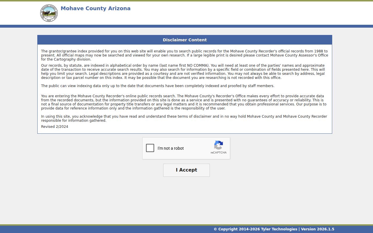
That notice is why an empty address search cannot be read as proof that no deed exists.
Once the terms are clear, use the Recorded Document Search by Both Names, Grantor, or Grantee. Recording date, document number, book and page, document type, legal description, parcel number, and address can narrow a result when indexed. Open the image when available. A search row is only an index entry; the permanent instrument controls.
The Recorder search interface is captured here for the by-street deed handoff.
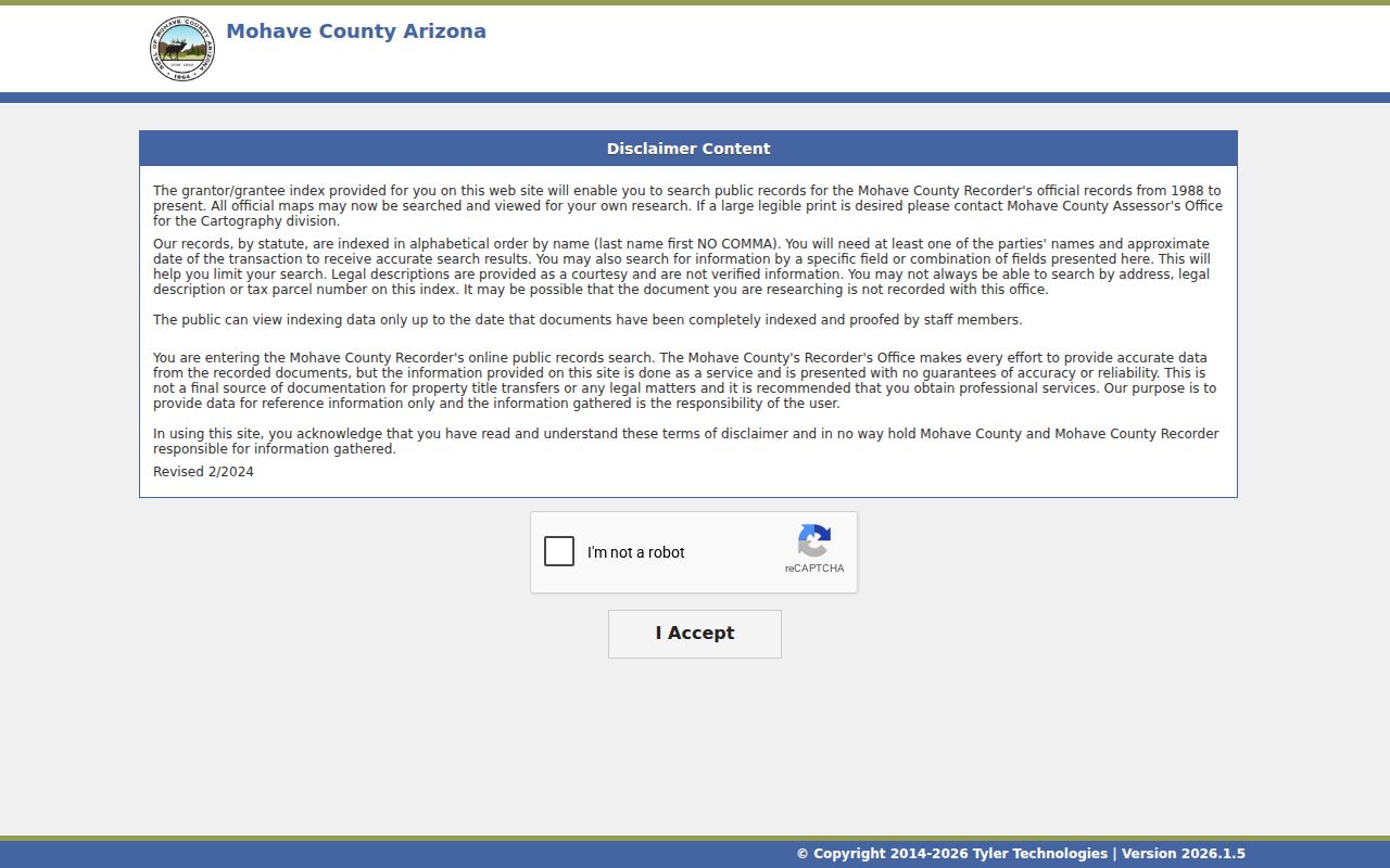
Its name and date modes are the practical bridge from an assessor owner to a recorded acquisition deed.
When Mohave County Address Search Fails
An address-only deed search often stops too soon. The insider move is to take the indexed owner from the Assessor, estimate the purchase period from available parcel evidence, then search that party as grantee. Record the acquisition instrument and prior grantor. Search that grantor as an earlier grantee to continue the chain. Keep the legal description beside each step so namesakes and changed street text do not merge.
For material before 1988, contact a Recorder counter or Records Management for books, maps, micrographics, and non-web research. Index access is free. Copies are $1 per page, certification is $3 per document, and mailed copy requests need a self-addressed stamped envelope. Deed questions go to 928-753-0701.
Counter access is spread across the county. The main Recorder office is at 700 W. Beale Street in Kingman. Branch counters operate at 1130 Hancock Road in Bullhead City and 2001 College Drive, Suite 93, in Lake Havasu City. Those are county records counters, not city-clerk offices. Give staff the party name, an approximate date, instrument clues, and the legal description when available. A focused request is more useful than asking for every record tied to a street name.
Insider tip. A party name plus an approximate date is more reliable than address or APN when Recorder indexing is incomplete.
Mohave County Street Custodians Change
The county Addressing Office covers unincorporated Mohave County. It does not assign addresses within Kingman, Bullhead City, Lake Havasu City, tribal land, the Colorado City area, or a Board-approved special grid. A county portal no-hit may therefore signal the wrong custodian. Check the parcel and jurisdiction before asking for a permit, code file, or address verification.
The Mohave County addressing rules tie an address to primary physical access and the structure's public entrance. Vacant land normally receives no address. A split or combination can make a legacy number wrong. An owner has no vested right to a number and cannot move it to another site. Physical-address verification requires a permit and plot plan; the Addressing Office number is 928-757-0903.
Numbering increases away from a grid origin along north, south, east, or west lines, though separate areas can use separate baselines. Opposing entrances generally take consecutive odd and even numbers. The rule helps explain why two sites facing one another need not share the same hundred block logic a visitor expects from a city grid.
- Parcel
- A tract tracked by the Assessor under an APN.
- Situs address
- The assigned physical location of land or a structure, distinct from tax mail.
- Plat
- A recorded map that defines lots, blocks, roads, or survey geometry.
- Criss-cross directory
- A dated directory arranged by address or street rather than only by surname.
Mohave County Address Permits Add Dates
Permits can place construction, additions, and inspections on an address timeline. Save the permit number, work description, issue date, inspection dates, and final status. The applicant or contractor is not automatically the owner. Code files can add notices and a disposition, though complainant and contact details may be redacted.
County permits issued after July 1, 2025 use a Portal Access Code for full detail. Older permit questions can go to building@mohave.gov. Incorporated-city property goes to that city's development or records channel. When the portal does not answer the question, use the Mohave County services and public-records gateway or submit a focused request to the department that created the record.
Free Maps Are Not Title
GIS selection and export are powerful because they let a researcher inspect many parcels at no charge. Yet the county warns that map layers may contain spatial, registration, attribute, currency, completeness, projection, calculation, representation, or outside-source errors. The right use is map to discover, Assessor roll to identify, and deed or survey to establish.
The county's GIS tools and data-extract page is shown in the assigned street image.
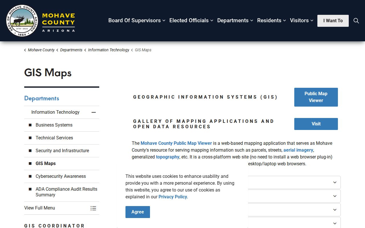
The extract tools support a street worksheet, but the source date and later deed checks still belong in every row.
Historic Mohave County Street Directory Evidence
Older occupant work is edition-bound. Verified Kingman Polk directories exist for 1937, 1961, and 1963. A reverse or householders section should be used only if that volume actually includes one. Read house numbers in order and preserve vacancies or business entries exactly. Sanborn maps can help reconcile street labels and building footprints, but they do not name occupants.
For collection details, use the Mohave County city directories rather than treating every alphabetic volume as a reverse street directory. When the web shelf ends, ask the Mohave Museum's appointment-only, volunteer-run research library or a county library branch about address-specific directories, maps, photos, newspaper microfilm, and citation rules.
Note: A legal description can preserve identity when an assigned number, road name, or postal form changes.
Limits of Mohave County Street Records
Property ownership is not a household list. The Assessor does not reveal renters or all people at a site. GIS does not prove title. A Recorder party may be a lender, claimant, trustee, or signer rather than an occupant. Permit applicants may be contractors. Utility and delivery data are not public directory substitutes, and the voter self-lookup is not a public street browser.
Arizona voter-list access is controlled by A.R.S. § 16-168. The Mohave County voter public-records request can include specified residence fields for an authorized use, but it carries purpose, posting, and transfer limits. Protected voters and Address Confidentiality Program participants are deliberately shielded. Respect those gaps. A current resident conclusion needs context, two compatible sources where possible, and a retrieval date.
Lawful use. Use Mohave County address records for legitimate personal research, never to stalk, harass, threaten, or evade a protected address.
The Recorder's recording-services page describes the document classes that may appear along a street.
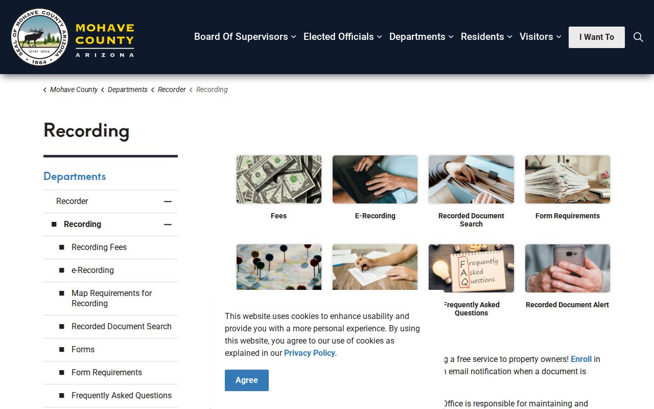
Knowing the document type keeps ownership, liens, maps, and affidavits in their proper evidentiary roles.