
Mohave County Past Resident Sources
A backward address trail crosses several eras. Current parcel tools establish the site and indexed owner. The Recorder's web index then traces recorded parties from 1988 forward. Earlier transfers require help from Recorder counters, deed books, maps, or microfilm. Kingman's three verified Polk volumes and public census schedules may identify listed occupants. Sanborn maps date buildings and street labels, while newspapers, probate, and obituaries help explain the end of a household trail.
| Evidence source | Verified time span | Custodian or collection | Clue it supplies |
|---|---|---|---|
| Recorder web index | 1988-present | Mohave County Recorder | Recorded parties, dates, and instruments |
| Earlier deeds and maps | Before 1988; first book year unverified | Recorder and Records Management | Paper-era ownership chain |
| Assessor and GIS | Current; GIS changes may lag | County portals | Parcel, indexed owner, site, and map context |
| Kingman Polk volumes | 1937, 1961, 1963 | Arizona Memory Project | Listed names and addresses at three dates |
| Federal census | Public through 1950 | NARA and library platforms | Household composition at ten-year points |
| Kingman Sanborn maps | 1890-1923 editions; corrections to 1948 | ASU and Library of Congress | Building form, use, and historic street text |
Start with the source closest to the target date, but preserve the parcel's legal description. It is often the bridge when a street name, postal city, subdivision, or house number changes.
Start Mohave County Address History
Search the current situs in the Mohave County Assessor system. Situs means the land's physical location. Capture the APN, exact site address, indexed owner, and the separate mailing address if the parcel detail displays it. The mailing destination receives tax or valuation notices. It may belong to a trust, estate, manager, post-office box, or remote owner, so it does not prove who sleeps at the site.
Next, confirm parcel shape and subdivision in the county GIS viewer. Save the lot and block or the metes-and-bounds description, which describes land through measured courses. The map helps discovery, but the county says a deed or survey controls title and boundaries. Current ownership along an entire road belongs to the Mohave County by-street directory. For previous residents, the parcel is only the fixed starting point.
Note: Date the parcel lookup because assessment rolls represent a cycle and GIS changes may lag new splits or subdivisions by about a month.
Reverse the Mohave County Deed Chain
The Recorder index is organized around people and instruments, not a dependable house-address timeline. Begin with the current indexed owner and an approximate purchase date. The online search expects a surname first with no comma. Open the acquisition deed and write down the seller, instrument number, recording date, document type, and legal description. Then search that seller as a grantee at an earlier date. Repeat the same move until the web index ends or the legal description changes.
- Save the current APN, site, owner, and legal description from Assessor and GIS.
- Find the current owner's acquisition deed in the Recorder's 1988-present index.
- Record the grantor, instrument number, date, and land description from the deed image.
- Search that grantor as an earlier grantee, then repeat the seller-to-buyer link.
- At the web cutoff, take citations to a Recorder counter or request help with older books and microfilm.
The Recorder's search guidance explains that an accepted document receives a unique recording number and becomes permanent.
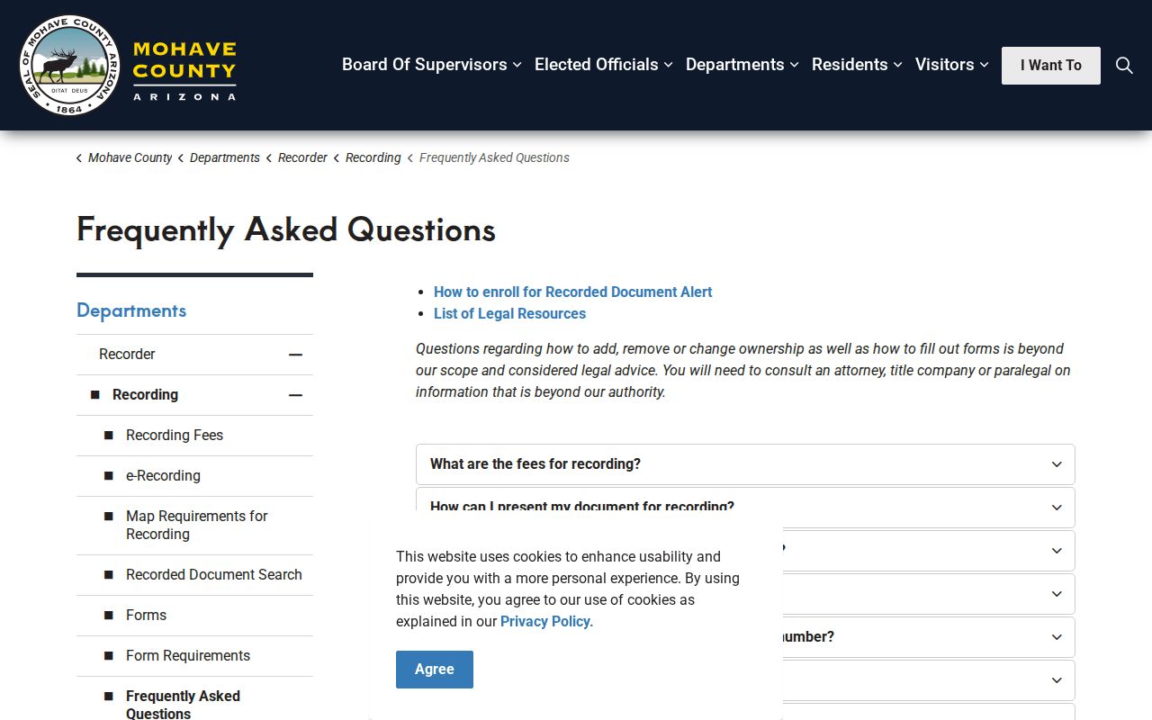
The search row is a finding aid. The recorded image, or a certified copy when needed, controls the instrument's actual terms.
- Grantor and grantee
- The grantor gives or transfers an interest; the grantee receives it. Party roles must not be reversed.
- Chain of title
- The linked sequence of recorded transfers affecting the same land.
- Legal description
- The lot, block, subdivision, or measured land description that can remain stable when street text changes.
Mohave County Search Insider Tip
Insider tip: party name plus an approximate transaction date is more reliable than an address or APN alone. The Recorder warns that addresses, legal descriptions, and parcel numbers may not be searchable on every instrument. Names should be entered surname first, without a comma. Search both-name mode when the goal is a lien or when the party's role is uncertain.
Keep each hit in its proper category. A deed can transfer title. A deed of trust secures an obligation. A release or reconveyance concerns a lien. An affidavit may explain an identity or property fact. A plat defines subdivision geometry. None of those labels alone identifies a listed occupant. Previous residents require an occupancy source or a careful convergence of dated records.
Search tip. Keep middle initials, co-parties, dates, document types, and the legal description when a common name produces several candidates.
Mohave County Deed Cutoff Myth
Myth: the online index begins where Mohave County land records begin. The web index starts in 1988, but older deeds remain part of the record trail. The exact first Recorder book year was not verified, so an earlier deed citation should not be invented. Bring the last online grantor, grantee, recording date, book and page if shown, instrument number, and legal description to the office. Recorder assistance, deed books, maps, and microfilm carry the search into the paper era.
The Records Management and Micrographics division is the practical bridge for non-web material and has operated as a division since 1998.
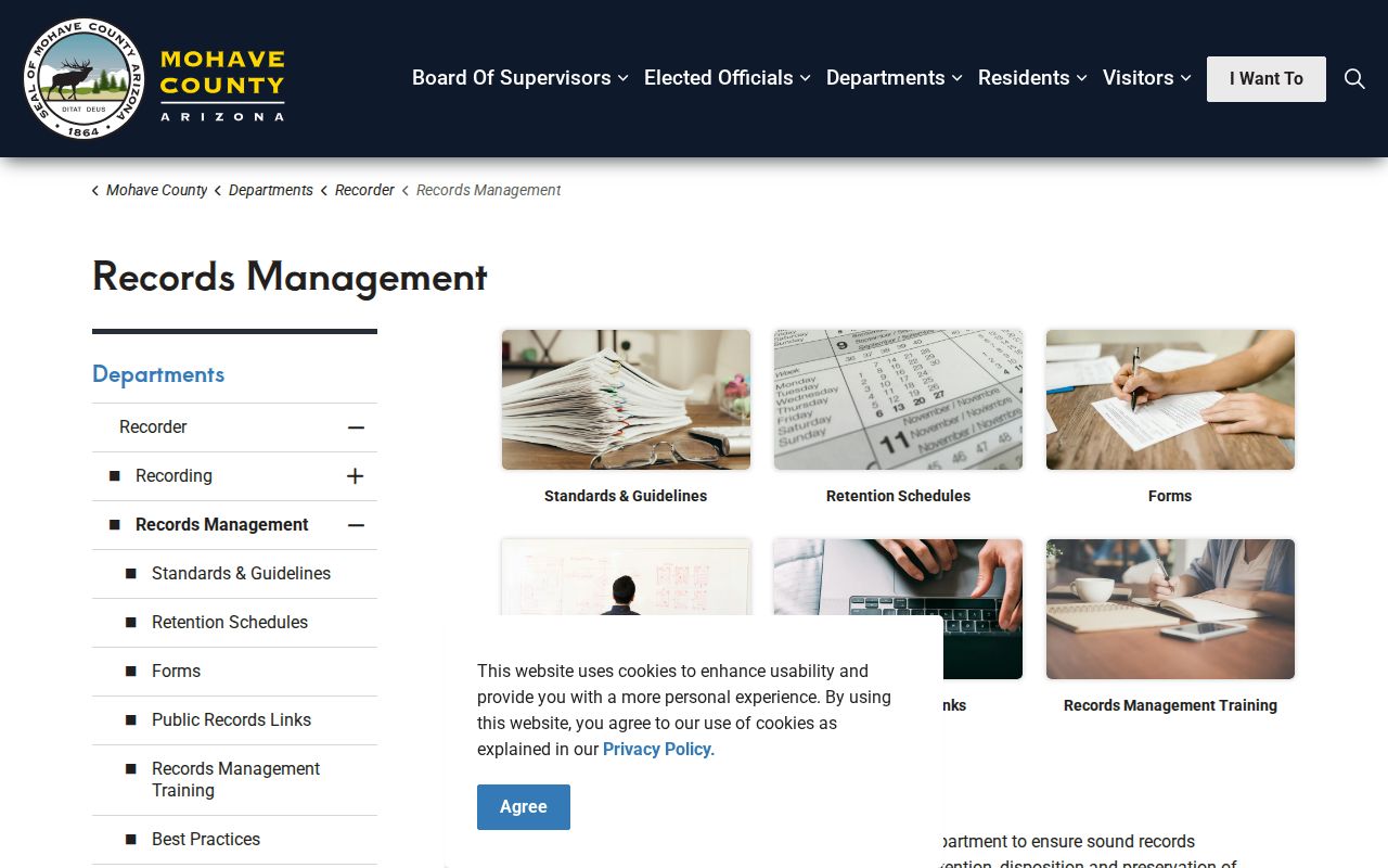
Older help is available through the Kingman Recorder office and branch counters in Bullhead City and Lake Havasu City. Copy requests may also be made by mail with a self-addressed stamped envelope. The researched fee schedule lists ordinary copies at $1 per page and certification at $3 per document.
The Recorder's historical research links connect county researchers with the State Archives and Arizona Memory resources.
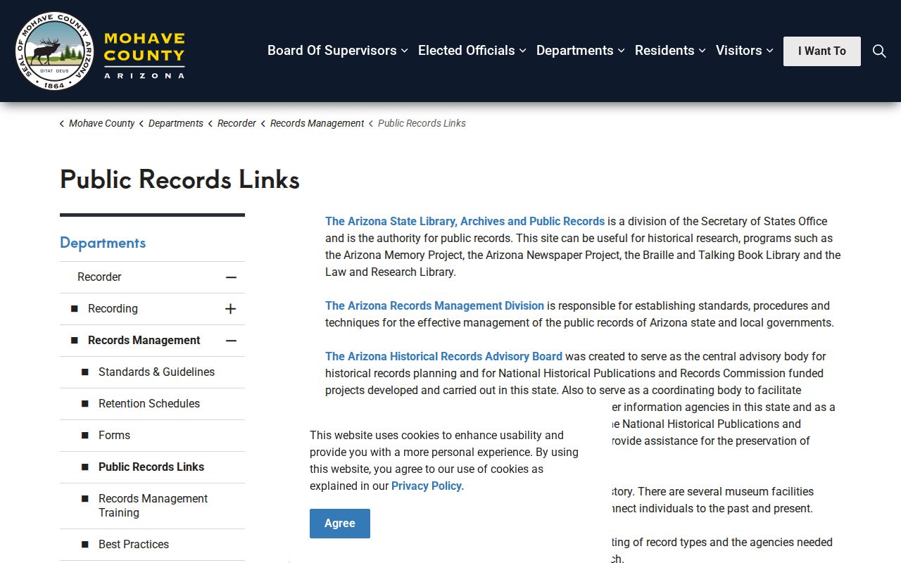
Online links, office research, branch counters, and mailed copies form one access chain. A failed web search should move to the next channel, not be treated as proof that no deed exists.
Match Mohave County Past Households
Ownership is only half of house history. The Arizona Memory Project holds Kingman Polk city directories for 1937, 1961, and 1963. These are separate snapshots, not a continuous run. The 1937 name and address can be checked against the 1940 census. The 1961 and 1963 editions can be compared with one another, then extended through deeds, obituaries, newspapers, or probate because the 1950 census is the newest public federal schedule as of 2026.
- Match the historic street text or legal description to the modern parcel.
- Search the nearest Polk volume and transcribe the entry exactly.
- Compare the 1937 result with 1940 census names, ages, and household ties.
- Compare 1961 with 1963 for address, spouse, and occupation changes.
- Use an obituary, probate file, deed, or later notice to explain the household's end or move.
The collection details and entry-reading cautions are covered on the Mohave County city directory page. Never assume a Polk book has a reverse or householder section until its contents confirm one.
Map Mohave County Previous Residents
Kingman Sanborn fire-insurance maps supply structure and street context. ASU lists editions for 1890, 1896, 1898, 1901, 1910, 1916, and 1923, with corrected material through 1948. The Library of Congress freely displays the five-sheet March 1916 set. A map may show footprint, construction, use, and an old street label. It does not name the people inside.
The ASU Sanborn map index shows the Kingman date sequence and later corrections.
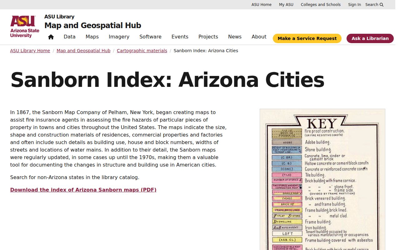
Pair the footprint with a directory name and deed legal description. That three-source match is much stronger than treating a map label as an occupant record.
Date Mohave County Address Changes
Permits can distinguish original work from later additions. Record the permit number, work description, issue date, inspection dates, and final date. An applicant or contractor is not automatically an owner or resident. Mohave County's full-access code applies to permits issued after July 1, 2025. For older permit details, the county directs requests to building@mohave.gov. Incorporated cities keep their own permit files, so first identify the jurisdiction.
Address text can also diverge without fraud. In unincorporated Mohave County, the Addressing Official assigns or changes physical addresses based on access and building orientation. Incorporated Kingman, Bullhead City, Lake Havasu City, tribal land, and the Colorado City area fall outside that county assignment authority. A postal city may describe delivery beyond city limits. Preserve the APN and legal description when the address trail breaks.
Note: Portal absence does not prove that no permit exists; older files and city-created records may require a written request to the correct custodian.
Close Mohave County Resident Trails
The Mohave County Miner archive can place a name in legal notices, marriages, deaths, advertisements, court items, and social columns. It began at Mineral Park in 1882 and moved to Kingman when the county seat moved in 1887. That shared move explains why an early resident trail may cross place names before reaching today's Kingman custodian. Library HeritageHub indexes obituaries and death notices from 1704 to the present, subject to library access rules.
Probate is a useful endpoint when a past resident died. The Mohave County Clerk of Superior Court keeps probate files, while the statewide public case index excludes probate. Request the file from the clerk rather than assuming a statewide no-hit ends the search. Cemetery notices, local newspaper items, and museum material may add context. Give staff a surname, community, address or legal description, and date window.
Lawful use. Research previous residents for family history, property history, estate work, or personal curiosity. Never use an address trail to stalk, harass, or harm a living person.
Report uncertainty plainly. A recorded party is not always an owner in possession, an indexed owner is not always an occupant, and a listed occupant belongs only to that directory's canvass date. Where sealed or protected records create a gap, respect the boundary rather than trying to evade it.